by Steve Alexander
Those who traveled Seawall Boulevard west of 61st Street in August saw a huge pipe on the beach spewing upward a slurry of water and sand. And if they stopped and watched long enough, they saw the water drain off while the sand was spread about with heavy machinery. This most recent effort to restore our beaches is similar to the one I described in a blog last summer (see “Galveston’s newest beach,” July 7, 2020).
For this blog, however, let’s turn our attention to the back of the island, where our salt marshes occur. These habitats are vital to the island’s ecology. You can learn about their value in a previous blog (“Wetlands are bird magnets,” April 26, 2021) and in Chapter 2 of my book, Exploring Galveston: A Naturalist’s Guide to the Island.
Just like beaches, salt marshes are constantly exposed to wind, waves, occasional storms and sea level rise – erosive forces that eat away at marsh shorelines, resulting in their slow but steady decline. So, like beaches, salt marshes need restoration, too.
But do restoration techniques exist for salt marshes? Thankfully, they do.
Efforts to restore the island’s salt marshes began in the early 2000s. Initial efforts used a terracing technique applied successfully in Louisiana, one in which bottom material was formed into elevated squares with its edges planted with cordgrass. But when applied locally in Carancahua Cove, part of Galveston Island State Park, terraces sank below sea level, resulting in the death of planted cordgrasses.
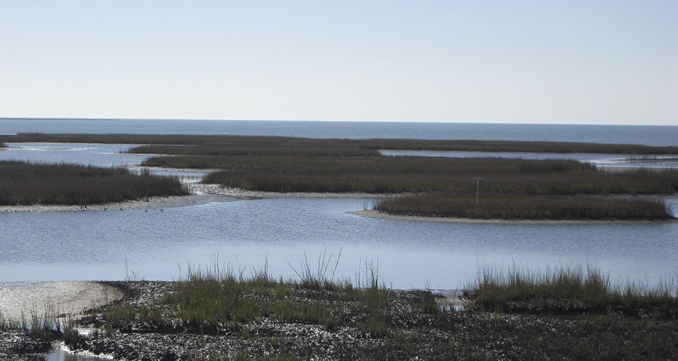
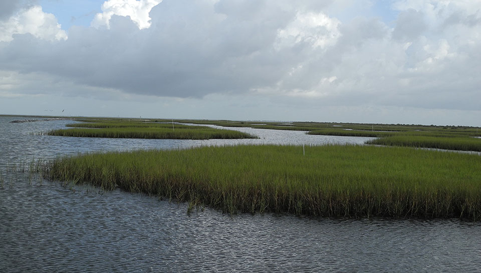
But by late 2011, a new technique was applied and proved successful in a neighboring area called Jumbile Cove. This technique used raised circular “pimple mounds” instead of terraces. Mounds were built using bottom material dredged from the bay and pumped via pipeline into designated areas. Elevated mound edges were planted with cordgrass. These mounds have remained in place and cordgrasses have spread (see photo of Jumbile Cove).
Cordgrass-dominated “pimple mound” salt marshes are now found in several other areas (from east to west): Starvation Cove, Dalehite Cove (see photo), Carancahua Cove and Bird Island Cove.
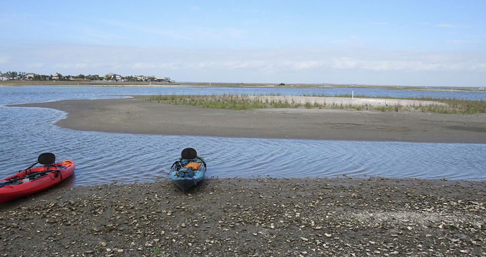
Several years ago, Cherie O’Brien, Natural Resource Specialist at Texas Parks and Wildlife, kayaked out with my graduate Wetlands Management class from Texas A&M University at Galveston. We got an up close look at the latest round of pimple mounds constructed in Carancahua Cove (see photo above).
To get a look at pimple mounds for yourself, check out the satellite images of Galveston Island’s bayside using Google Maps or Apple Maps.
Author’s note: The author wishes to thank Cherie O’Brien for sharing her expertise in salt marsh restoration. Also, thanks to fellow Texas Master Naturalist’s Alan Wilde, Maureen Nolan-Wilde and John Wright for leading our student group by kayak to view the latest mounds in Carancahua Cove.
[ABTM id=6804]


